Juxtaposing two sorts of reality
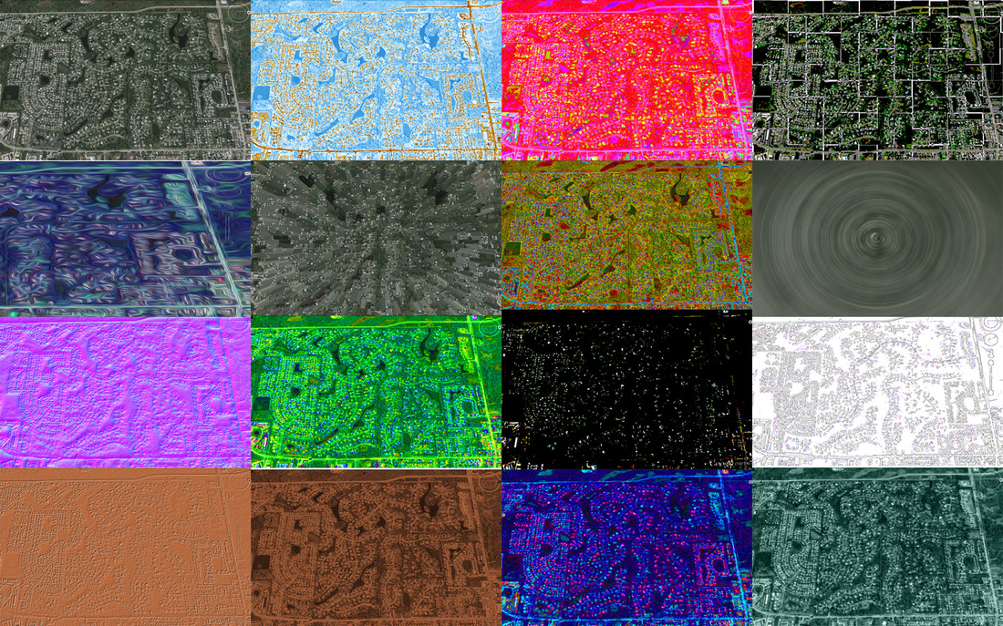
The neighborhood that I reside in is relatively big. A while back our homeowners association created an online forum to share information. Usually this has been a way for neighbors to ask questions such as, “Who knows a good handyman?” or “I’m starting a book club. Is anyone interested?” However, recently there has been an ongoing conversation regarding a residence that has become a halfway house for people in recovery. Let’s just say there have been very opinionated comments on the forum from opposing points of view. With that in mind, I decided to create an image that represents the many perspectives on the issue. To do this I saved a screen shot of my neighborhood from Google Earth. I opened the photo in Photoshop and used different adjustments and filters to alter the appearance of the same map. This represents the different perspectives. Some are strong, some are negative, some are positive, some are compassionate, and some really do not care. Next, I created a single image from the altered maps. Although there are many perspectives, we are joined to together through location. To view the maps separately you can check them out here: https://flic.kr/s/aHsksmDEAZ
ArcGis Online mapping
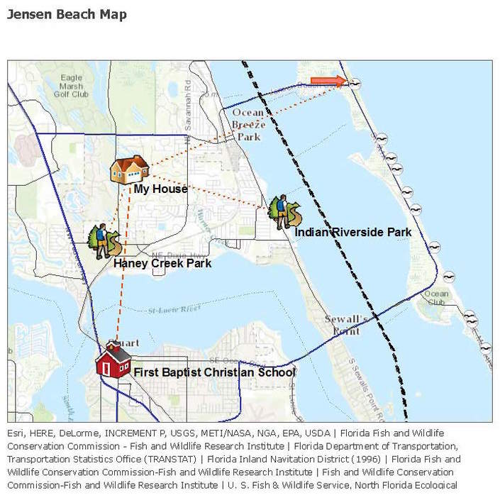
When I first opened ArcGis I was overwhelmed—but, then I started exploring and within no time I was hooked. I started with a topographic base map of the area where I live. I added my house, the school I work at, the parks where I walk my dog, and an arrow that points to the beach. I included dotted lines from my house to the parks and a dash line from my house to where I work. I added layers that show the waterways, Intracoastal, bridges, and sea turtle nesting beaches. I have a feeling I will be spending a little more time on this website. Here is the link to my map: http://arcg.is/1PRorqf.
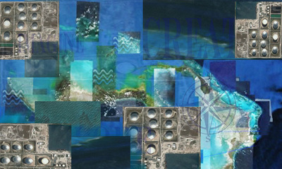
Creating collages from GoogleEarth.


